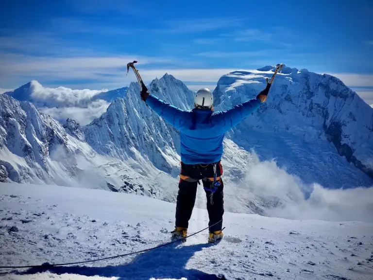
5686m
Hard
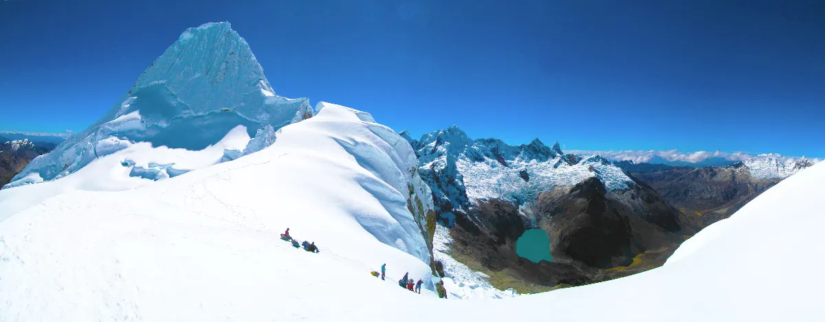
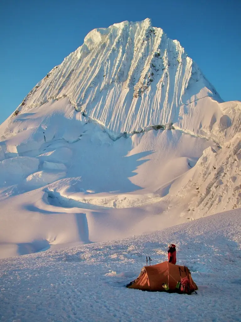
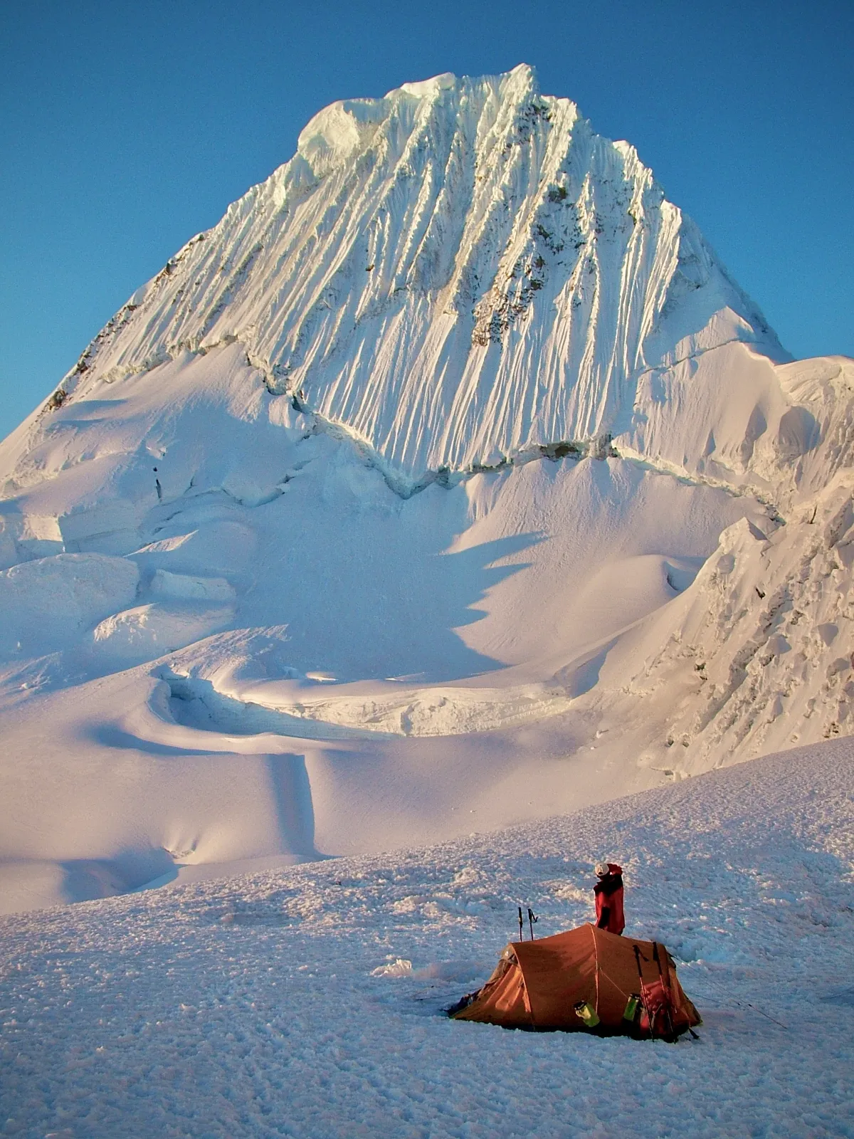
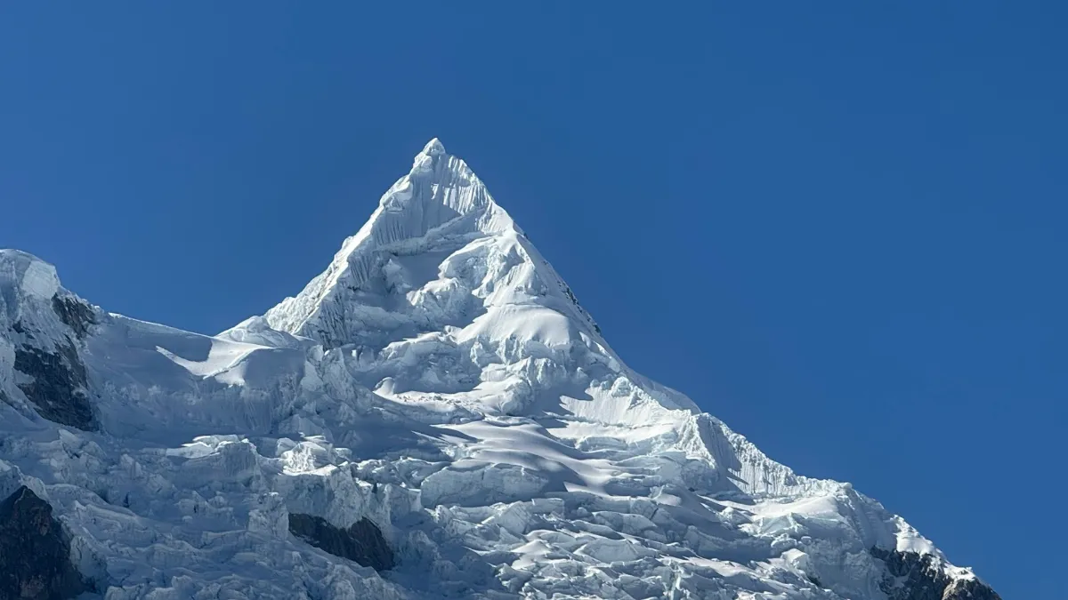
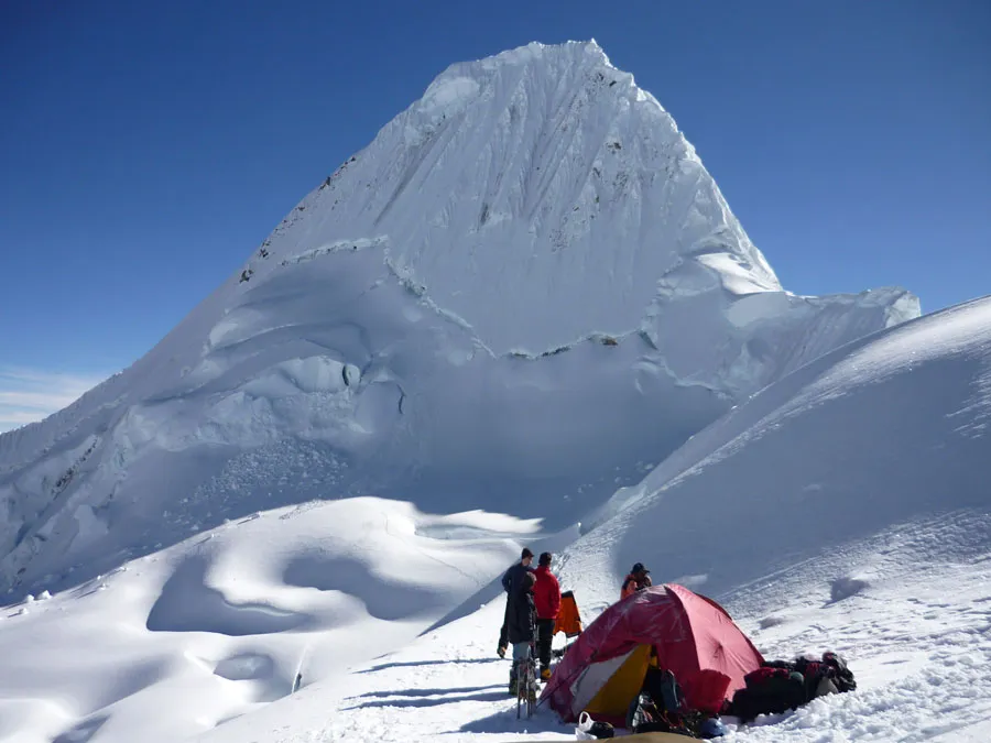
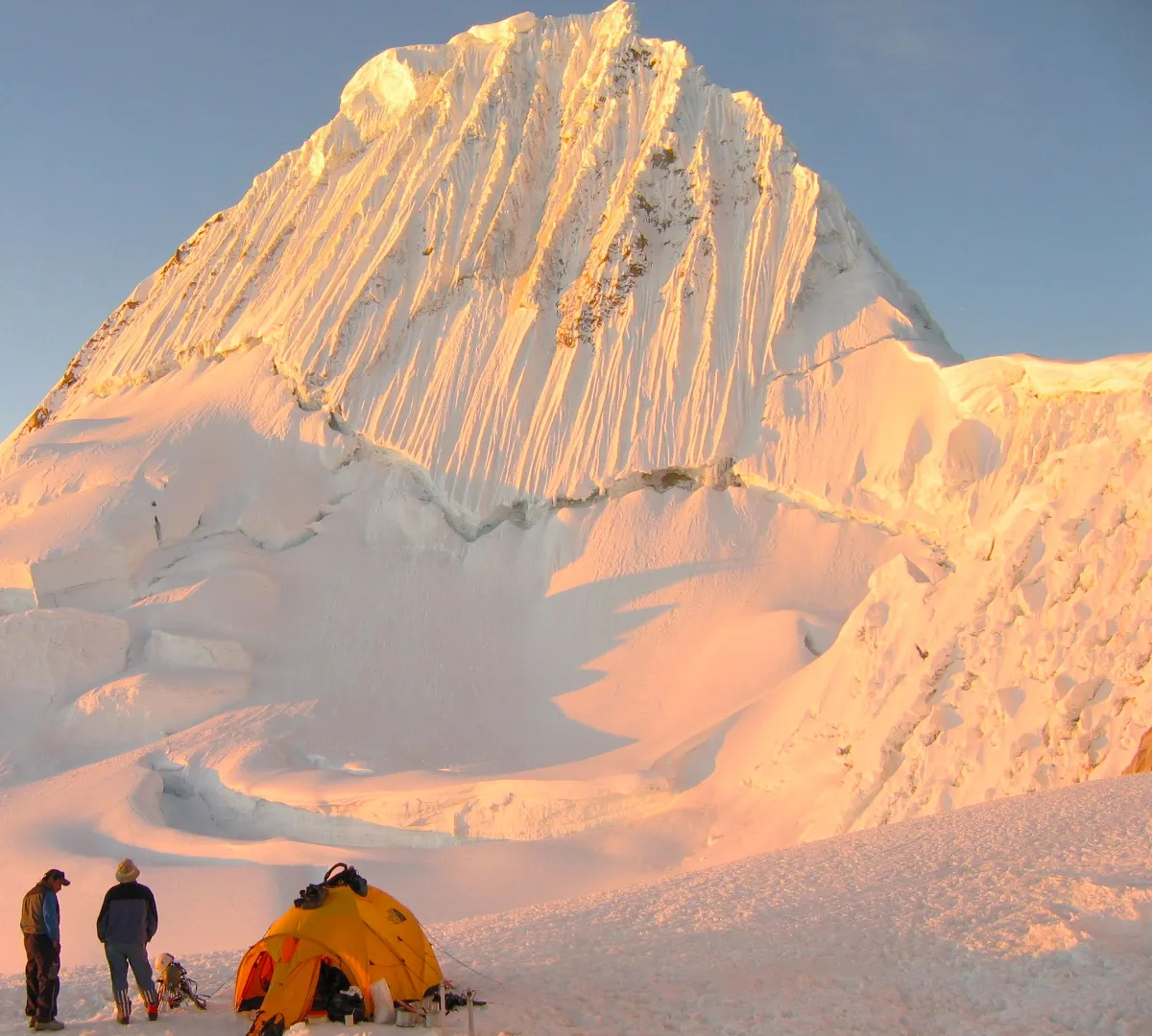
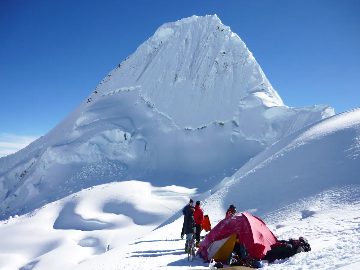
With its almost perfect pyramid shape and fluted ice walls, Alpamayo (5947m / 19,511ft) was voted the “most beautiful mountain in the world” at a 1966 German photographic exhibition. It remains one of the great prizes of the Cordillera Blanca.
This is steep, technical climbing reached via the Quebrada Santa Cruz. It is not a peak for beginners: you should be experienced on steep ice and comfortable moving on 55–65° slopes, with short sections up to 80°.
Duration
7 Days (option to add a day for Quitaraju)Grade
D — steep & technical climbingHighest Point
5947mThe ascent demands several hours of continuous front-pointing on two technical ice axes. Climbers need to be confident with ice screws, snow stakes, anchor systems and rappel descents, and to have had some rescue training. The line we take — the French or the Ferrari route — is decided on the day according to cornice stability and avalanche risk on each face.
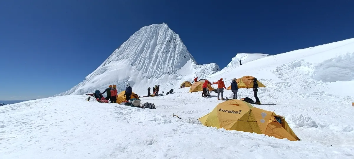
You must be very well acclimatised to climb Alpamayo: you sleep and climb above 5000m, which is demanding and tiring. We recommend a minimum 4 to 6 day acclimatisation trek followed by a 2 to 4 day climb on a 5000m peak for extra strength before attempting Alpamayo.
Routes and conditions change year to year and even week to week as glaciers recede. Our descriptions reflect a “normal” year and may differ considerably on the day. If reports from previous groups indicate unstable or dangerous conditions, we may recommend an alternative climb.
The guide in charge of your climb is one of our local, experienced and professional UIAGM International Mountain Guides.
Climbing times are estimates based on our average groups; some climbers are faster, others slower. Access roads to the trailhead are unpaved mountain roads and can be bumpy, so road travel is slower than the distance suggests.
Review the route day by day: altitudes, distances and acclimatisation.
Distance
~14 kmWalking time
4 to 5 hoursHighest point
3750mAscent / descent
+850m / -0mA 2½ hour drive from Huaraz to Cashapampa (2900m), where we meet our donkey drivers and catch our first view of the great pyramid of Santa Cruz. We climb through the valley beside the river; the first two hours through a steep, hot gorge before the valley opens onto cooler puna grassland and our camp at Llamacorral (3750m).
Contact our operations base in Huaraz: we sort out the prerequisites and secure your place on the expedition.
You'll talk directly to the people who run the trip.
More routes in the same spirit — the same range or the same kind of trip. Tap any one for the full itinerary, or write to us and we will tailor your own.
Duration
2 Days (3 or 4 with instruction days)Best Season
May - Sept
Duration
6 Days (5 without rest day; 4 for Tocllaraju only)Best Season
May - SeptEssential answers about this high-altitude route.



Your privacy
A quick question before you planWe would like to count visits with Google Analytics, to learn which treks people read about and which pages need work. Nothing is measured unless you agree, and you can change your mind at any time from the link in the footer. Privacy policy