4750m
Hard
Huayhuash Short Circuit to Laguna Jahuacocha — 4 or 5 Days
Duration
4 Days (can be 5)Best Season
May - Sept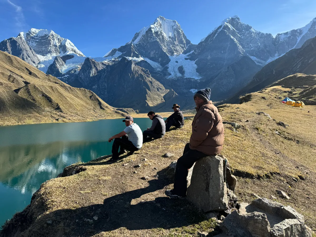
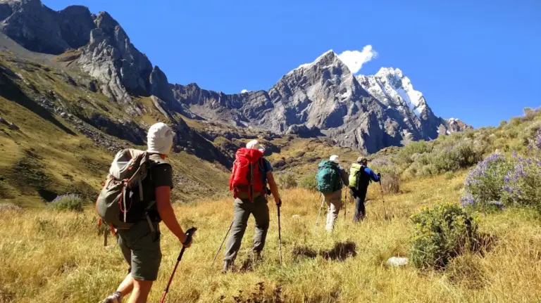
Repeatedly named one of the classic trekking circuits of the world, the Cordillera Huayhuash is a compact, rugged range of jagged, vertical summits — among them Yerupajá Grande (6634m), the second highest peak in Peru, and half a dozen others above 6000m.
Every day brings towering snow peaks, hanging glaciers and turquoise, trout-filled lakes. There are eight passes to cross, the highest at Cuyoc (5000m).
Duration
12 Days trekkingGrade
HardHighest Point
5000mThe hiking is not technical, but the length of the circuit and the number of high passes earn the Hard grade. You need an above-average level of fitness and to be comfortable with sustained two-to-three hour climbs and long descents. The reward is one of the most dramatic mountain panoramas in the Andes, including the west faces made famous by “Touching the Void”.
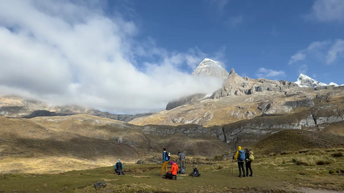
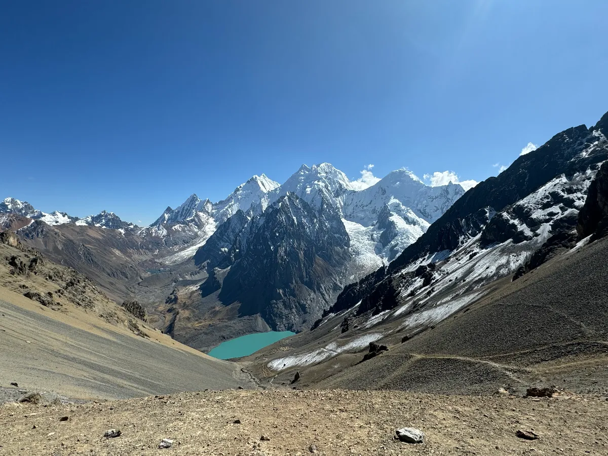
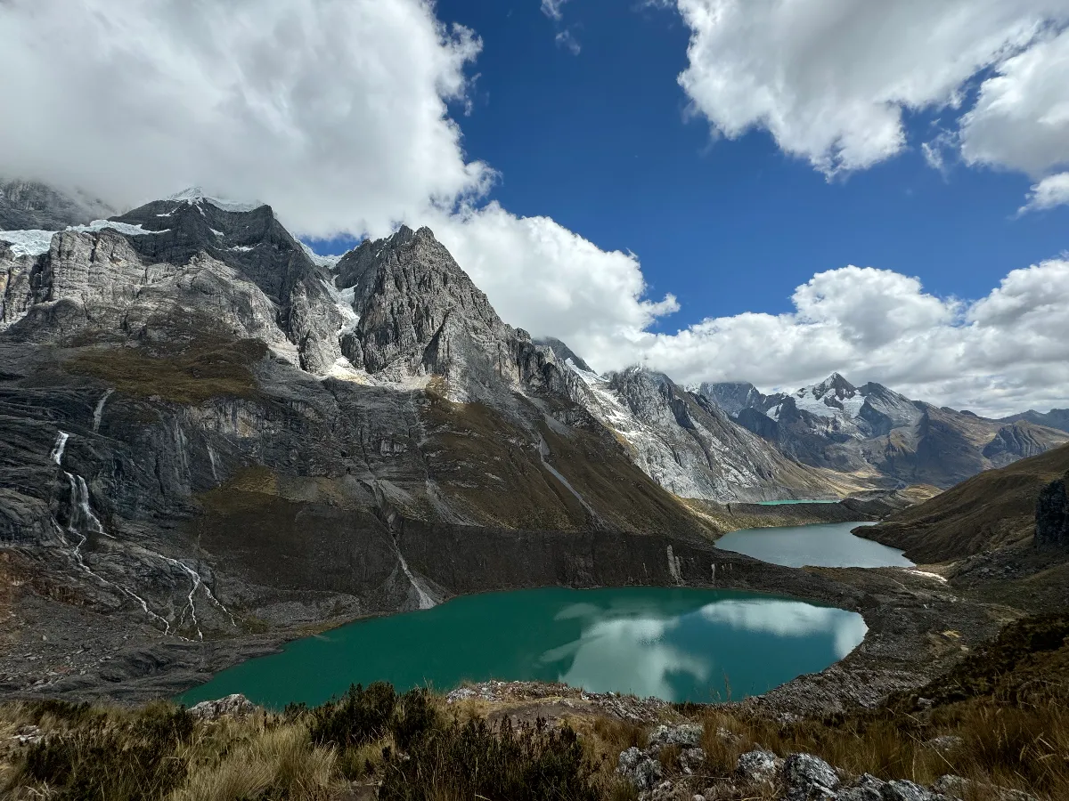
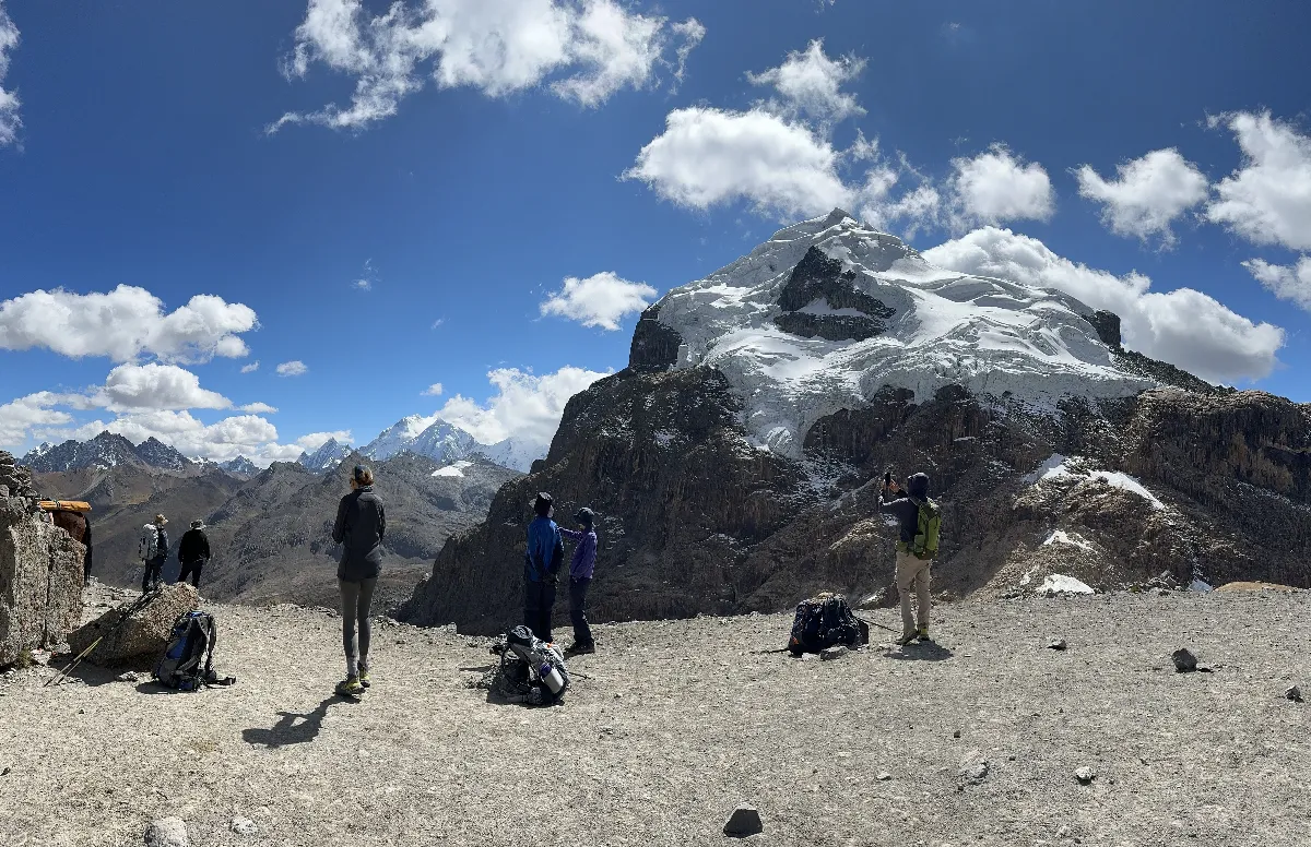
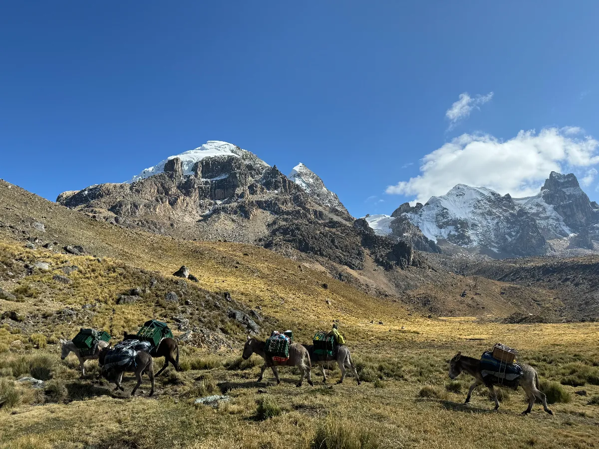
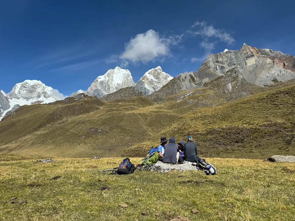
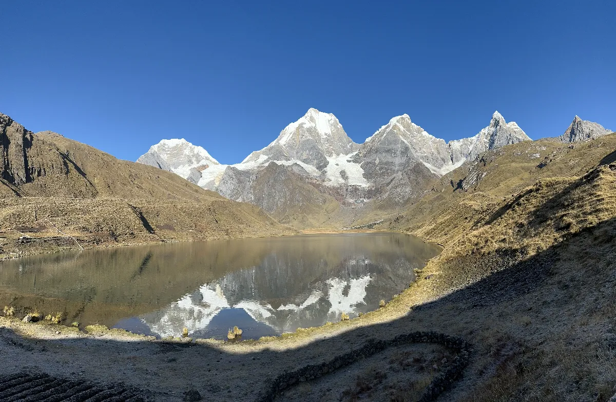
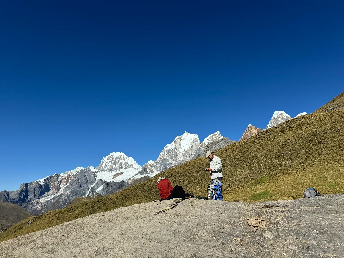
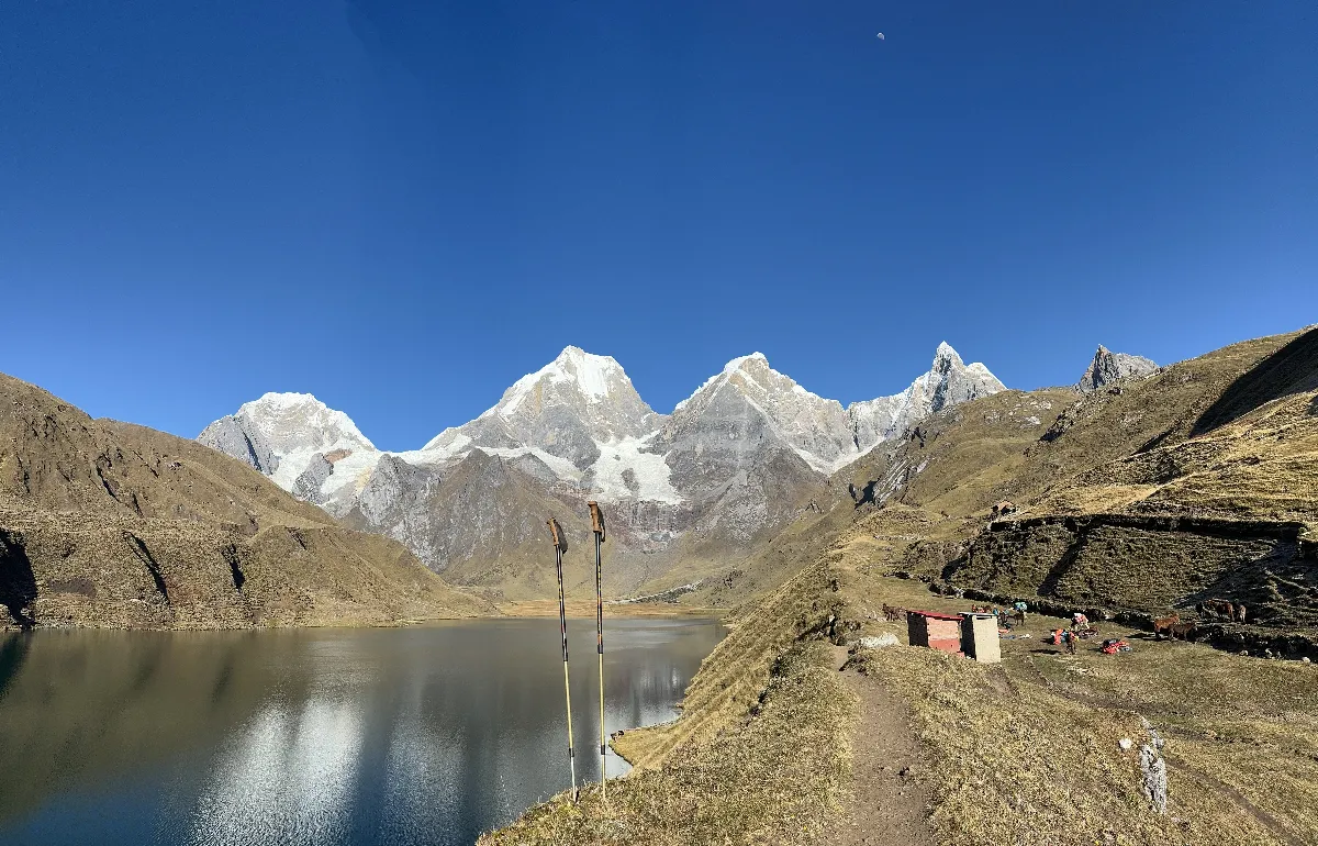
Although not technically difficult, the length of the trek and the number of high passes warrant a Hard grading. You need at least an above-average level of fitness and to be comfortable with sustained two-to-three hour ascents and prolonged descents. You are above 4000m throughout and trails can be steep, slippery and rocky.
You can drive direct from Huaraz to Quartelhuain instead of hiking the first stage, but only if you already have at least three days of acclimatisation hikes in Huaraz. The day gained can be used as an extra day at Elefante camp, to split the long two-pass day to Jahuacocha, or as a rest day.
In good weather and for fit, experienced trekkers, higher alternative routes exist between Mitucocha and Carhuacocha and beyond Carnicero via the Siula glacial lakes, with closer mountain views but some pathless terrain and scrambling.
At the Laguna Jahuacocha and Quartelhuain campsites, look out for the toilets built by Peruvian Andes Adventures in 2009 and 2011 as part of our Community Projects scheme.
Walking times are averages including breaks; altitude affects people differently, so some will be faster and others much slower. Access roads are unpaved and bumpy, so road travel is slower than the distance suggests.
Review the route day by day: altitudes, distances and acclimatisation.
Distance
Walking time
4 to 5 hours driveHighest point
3300mAscent / descent
+0m / -0mWe drive from Huaraz to Chiquián with distant views of the Huayhuash, then descend through cactus-and-scrub country to the village of Llamac (3300m) for our first camp.
More routes in the same spirit — the same range or the same kind of trip. Tap any one for the full itinerary, or write to us and we will tailor your own.
Duration
4 Days (can be 5)Best Season
May - Sept
Duration
8 Days trekkingBest Season
May - Sept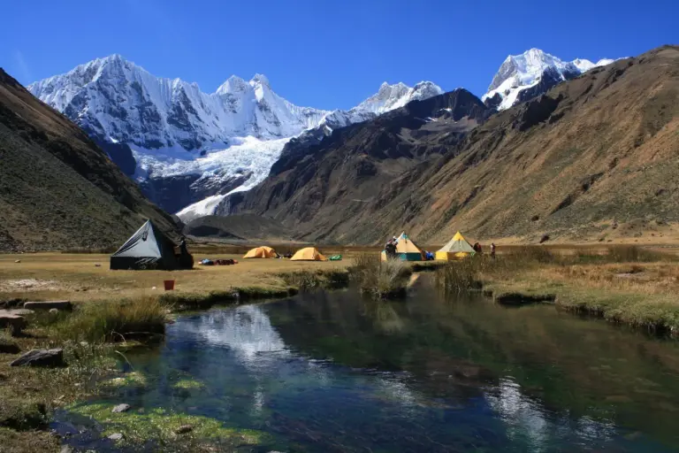
Duration
9 Days trekking (no rest days)Best Season
May - SeptEssential answers about this high-altitude route.
Contact our operations base in Huaraz: we sort out the prerequisites and secure your place on the expedition.
You'll talk directly to the people who run the trip.




Your privacy
A quick question before you planWe would like to count visits with Google Analytics, to learn which treks people read about and which pages need work. Nothing is measured unless you agree, and you can change your mind at any time from the link in the footer. Privacy policy