4850m
Hard
Santa Cruz & Quebrada Ulta Trek — 6 Days
Duration
6 Days trekking (with 7-day option)Best Season
May - Sept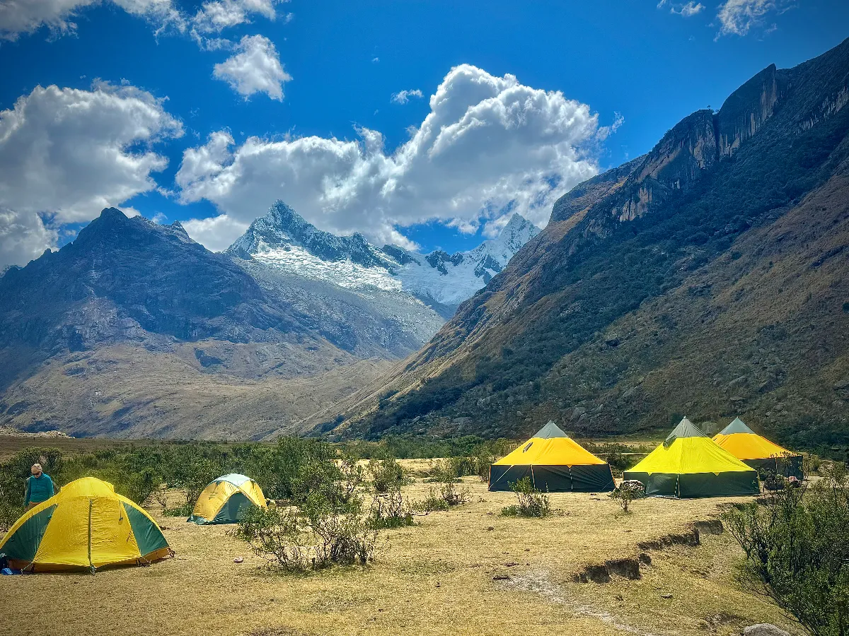
Starting on the famous Santa Cruz trail, this trek weaves a complete circuit around the Alpamayo massif through the heart of the Cordillera Blanca, crossing a string of high passes and the continental divide into wildly varied valleys.
You see Alpamayo from both sides — the Santa Cruz valley where it is usually climbed, and the spectacular pyramid face from Cruce Alpamayo — before a final night camped at the crystal-blue Laguna Cullicocha.
Duration
10 to 12 Days trekking (11-day itinerary shown)Grade
Medium to HardHighest Point
4860mGraded medium to hard: you cross several high passes with some long hard days mixed with shorter ones, all at altitude on unmaintained trails. You need good fitness and endurance, full acclimatisation and the ability to hike up to 7 to 8 hours. The reward is the only trek that fully encircles the world’s most beautiful mountain.
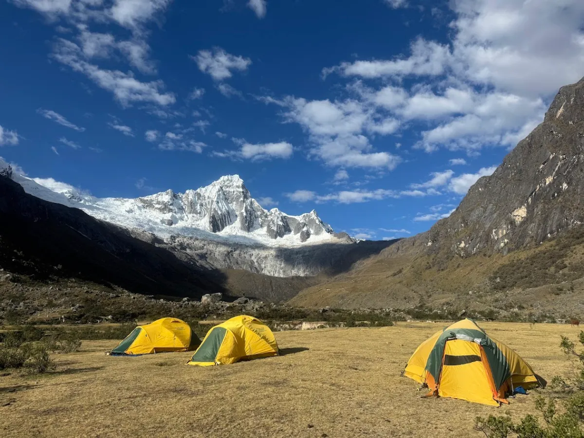
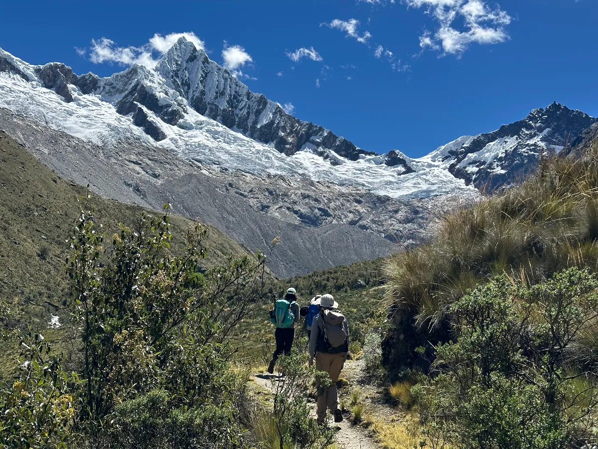
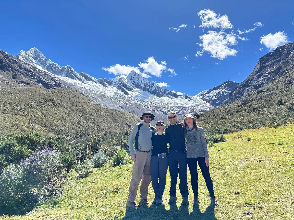
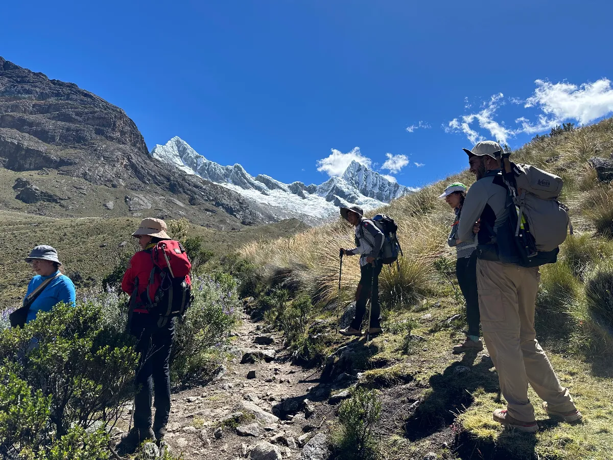
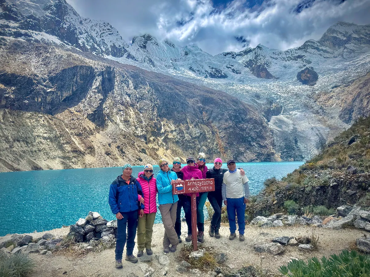
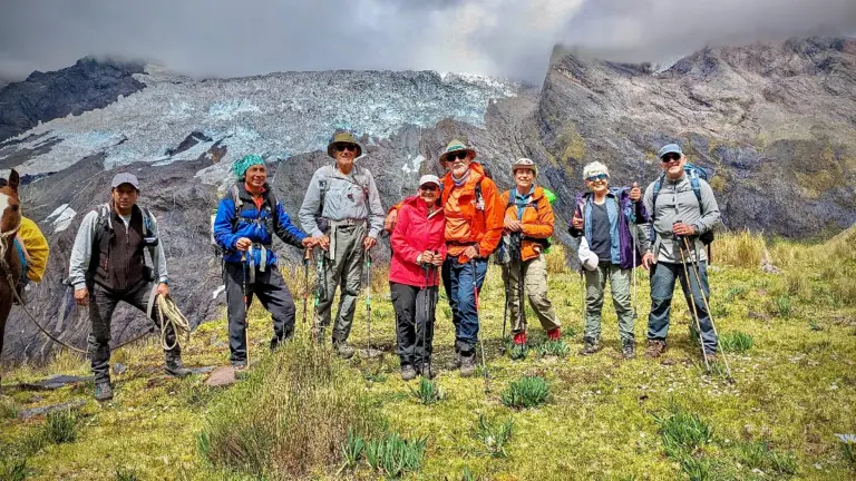
Graded medium to hard: several high passes with some long hard days mixed with shorter ones. The altitude makes it more demanding than a lower trek. You need good fitness and endurance, full acclimatisation, and to hike up to 7 to 8 hour days on uneven, unmaintained dirt trails.
The itinerary shown is the 11-day trek; the same route can be done in 10 or 12 days. For the 10-day version, omit the optional extra day at Cruce Alpamayo.
Starting from Vaquería gives work to donkey drivers from the villages of Colcabamba and Vaquería, who by local rules may only work on treks beginning there. This income is vital to these families and helps them educate their children.
Access roads to and from the trek are generally unpaved mountain roads and can be bumpy, so road travel times are slower than the distance suggests.
Review the route day by day: altitudes, distances and acclimatisation.
Distance
8.5 kmWalking time
5 hoursHighest point
3750mAscent / descent
+850m / -0mA demanding first day for those short on fitness or acclimatisation.
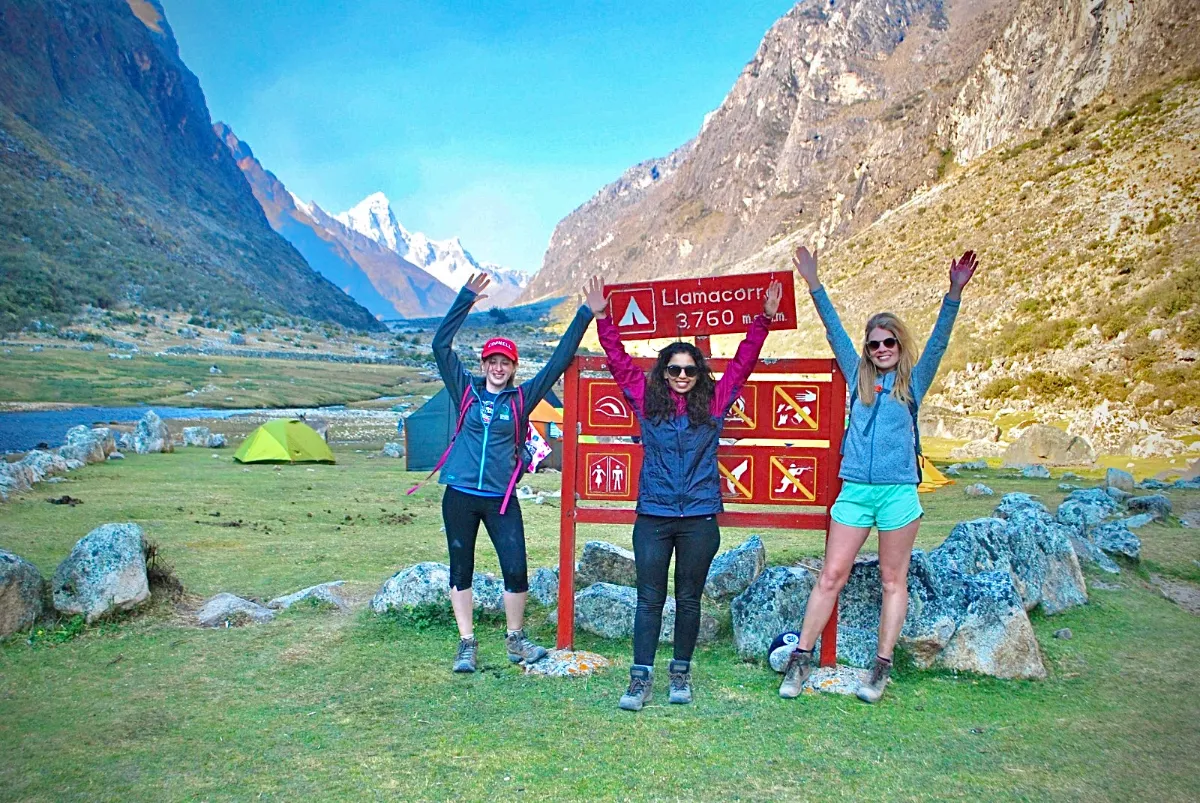
We drive the Callejón de Huaylas to Caraz and up to Cashapampa (2900m), with a first view of Nevado Santa Cruz. A steady ascent follows the river through a steep, hot gorge before the valley opens to puna grassland and camp at Llamacorral (3750m).
More routes in the same spirit — the same range or the same kind of trip. Tap any one for the full itinerary, or write to us and we will tailor your own.
Duration
6 Days trekking (with 7-day option)Best Season
May - Sept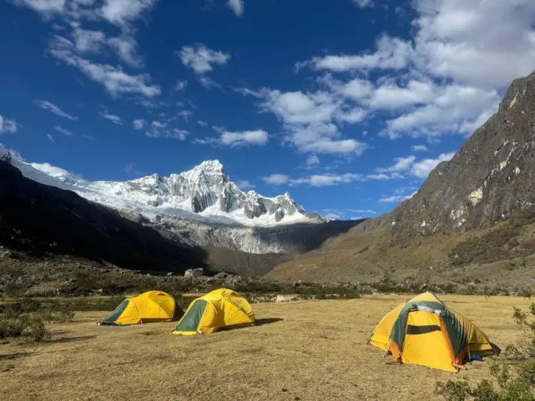
Duration
4 or 5 Days trekkingBest Season
May - Sept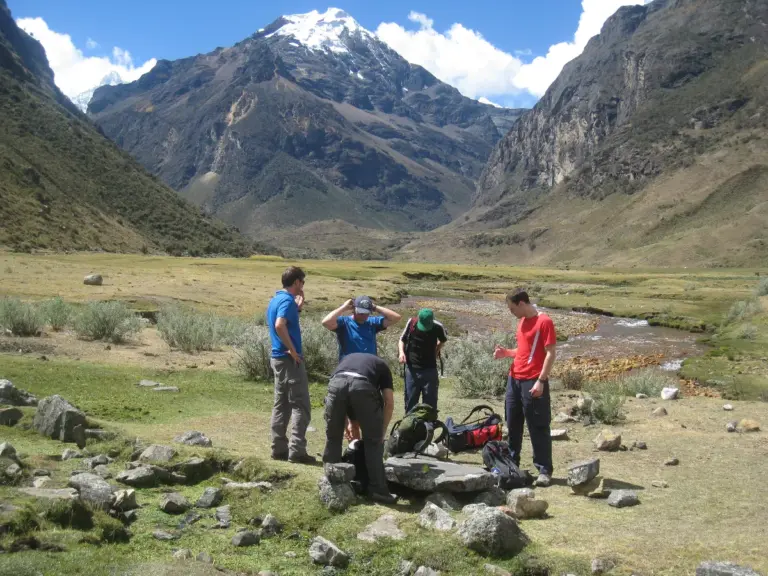
Duration
3 Days (option for 4)Best Season
May - SeptEssential answers about this high-altitude route.
Contact our operations base in Huaraz: we sort out the prerequisites and secure your place on the expedition.
You'll talk directly to the people who run the trip.



Your privacy
A quick question before you planWe would like to count visits with Google Analytics, to learn which treks people read about and which pages need work. Nothing is measured unless you agree, and you can change your mind at any time from the link in the footer. Privacy policy